Moon Guides


Newsletter Signup
By clicking ‘Sign Up,’ I acknowledge that I have read and agree to Hachette Book Group’s Privacy Policy and Terms of Use
Get Inspired


The Latest from Moon


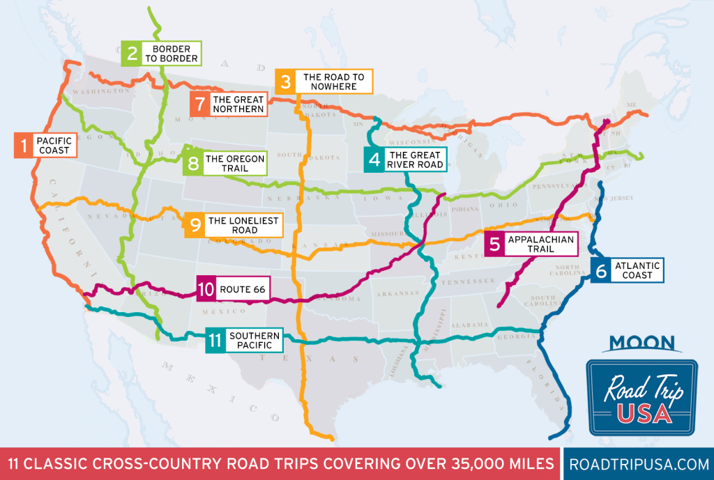
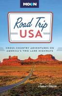
Discover Classic American Road Trips from Road Trip USA
With mile-by-mile highlights for 11 routes, expert advice, and helpful maps, RoadTripUSA.com has all the inspiration you need to fill up your tank and hit the road.