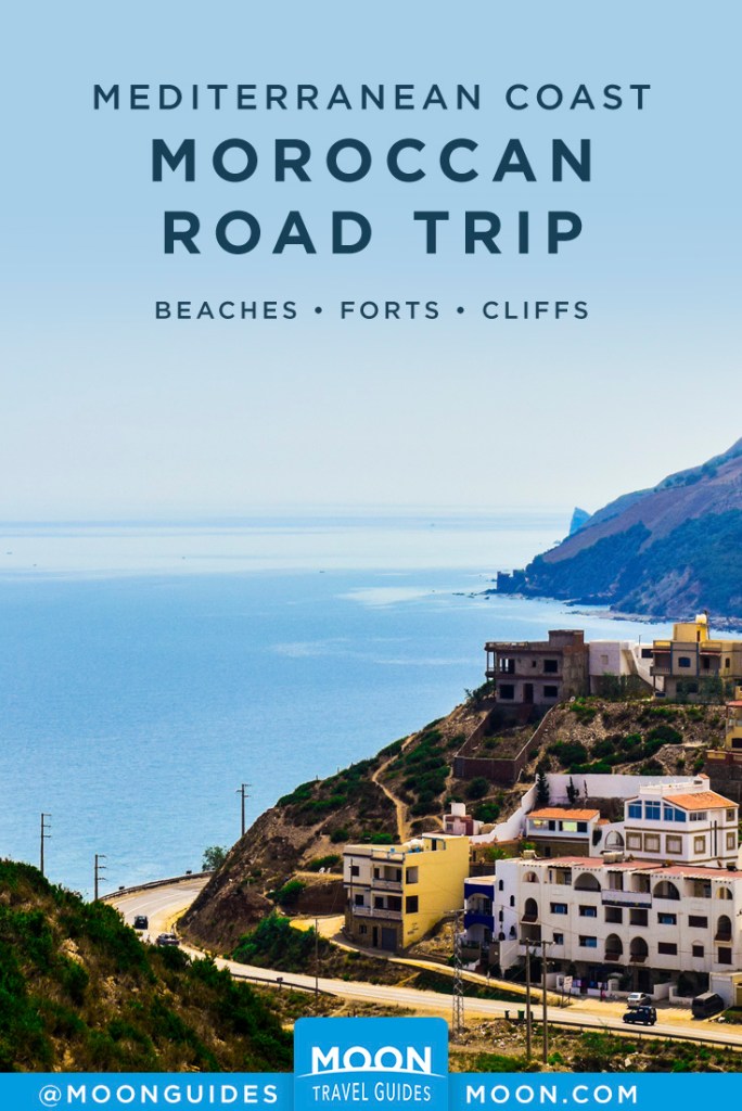
Road Trip Morocco’s Mediterranean Coast
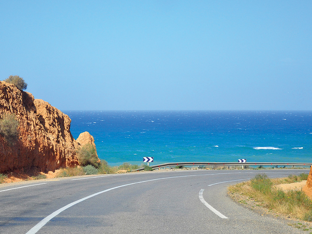
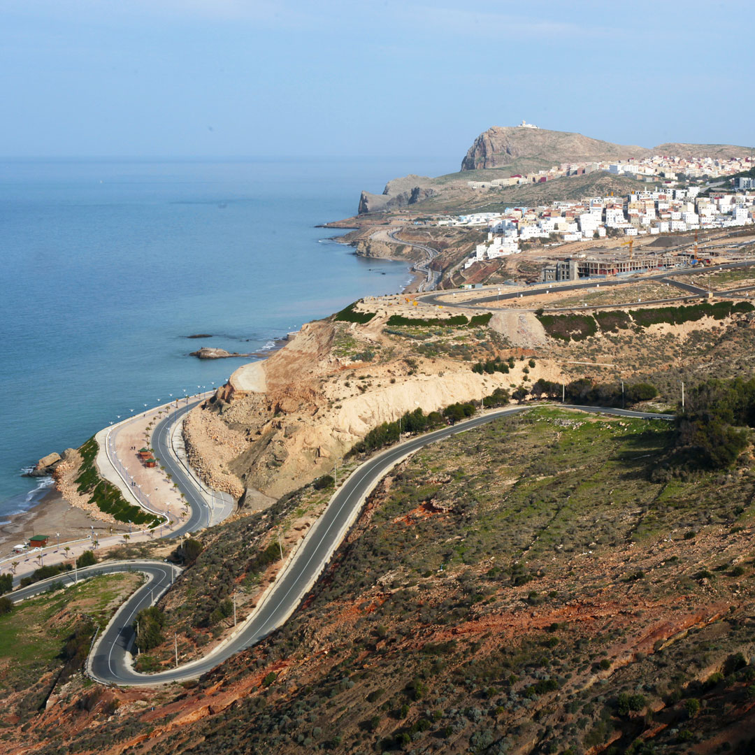
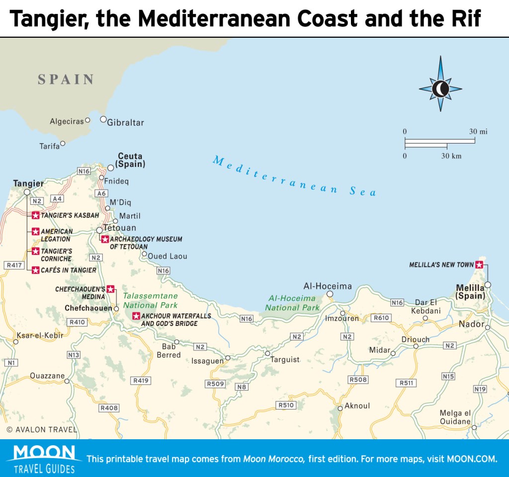
If you love a good road trip, consider a drive along the newly paved National Road 16 (N16), which runs along the north Mediterranean Coast, and take the six-hour drive (350km/218mi) from Tetouan to the Spanish city of Melilla. This drive features majestic cliffs plunging into the blue-green sea below, long stretches of seldom-visited beaches, the occasional national park, and a few protected lagoons that dot the way.
Every 20 or 30 kilometers along the route is a small village, though unfortunately most of these are being developed with the square brick and cement structures common in the villes nouvelles in all Moroccan cities. This strip is popular with Moroccan tourists in the summer, and the more popular beaches are often strewn with trash, though if you keep an eye out, you might run across one of the more secluded beaches between Martil and Al-Hoceima.
From Tetouan, you can follow the N16 directly from town, following signs to Oued Laou (48km/30mi, 1hr). From Chefchaouen, you can either backtrack to Tetouan or take the newly repaved P4105, which twists through the Rif, past the dam at Barrage Oued Laou and a couple of picturesque Moroccan villages, before joining up with the N16 in Oued Laou (56km/35mi, 1.5hr). Here are a few of the highlights east from Oued Laou.
Oued Laou
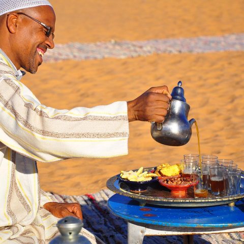
As in most of this region, the high tourist season runs July-August, when Moroccans from around the country flock to the north to enjoy the beaches, but outside of the peak season, Oued Laou is a laid-back fishing town. Along the coastline, a few restaurants serve grilled sardines, tajines, and anchovies cured with lemon juice and a mix of parsley, thyme, and garlic. Starting in mid-September, the beaches just outside of the main town are relaxed, with kids occasionally playing soccer on the beach and few sunbathers.
Leaving Oued Laou, the road immediately begins to climb the steep cliffs of the northern point of the Rif Mountains, where they plunge into the sea below. Amazingly, these are part of the same mountain system that gave rise to the Sierra Nevada of Spain just across the strait. The road climbs back and forth through green pine-studded hills and red cliffs.
Targha
From Oued Laou, Targha (17km/11mi, 20min) is the first of many small towns you will reach. Note the small fort atop a huge rock along the coastline. Built during the Spanish protectorate, this crumbling fort was once a base for Spanish dominance in the region. Because of its strategic location, this rock also has a long history of pirates using it as a hidden outpost. Today it is rarely visited, except by shepherds with their goat flocks, which graze along the steep rock.
Stehat
Farther along, after another climb up the Rif, is another, more ruined fort in the valley at Stehat (12km/7mi, 20min from Targha). This is a good place to stop if you need a break after the winding mountain road or want to relax for a few days. The Nazl Stehat has simple, clean rooms, Wi-Fi, and a restaurant. The rooms are a bit spartan, though they will do in a pinch. The hotel can arrange cycling, fishing, and personal watercraft rentals.
East from Stehat, the drive is less green, though not less interesting. The rock formations of this part of the Rif are picturesque and provide a stunning contrast to the Mediterranean. From here, the transformation from the mountainous region to a more arid, high-desert Mediterranean region is apparent. Rocky mountains give way to oasis-like valleys.
Jebha
Jebha (55km/35mi, 1hr from Stehat) is a small village with an exceptional stretch of beach over a small mountain to the east of town, though it is accessible only by foot, which makes it a real joy to get to. The town offers a few hotels and beachfront grills. Sardines, bissara, and fish tajines are the order of the day. Tuesday is the weekly souk in Jebha, one of the biggest and liveliest around.
Al-Hoceima National Park
Just before the city of Al-Hoceima is Al-Hoceima National Park (Parc National d’Al-Hoceima). This is likely the least-visited national park in all of Morocco and, because of that, a bit of an undiscovered gem that stretches for 485 square kilometers (187 square miles). You won’t find the hordes of backpackers along well-trod paths that you’ll find during the high travel season in other parks. Instead, the many dirt paths that crisscross through the park, from the coastline into the mountains, serve as main thoroughfares for the people of the local Rifi tribes who still live in small villages scattered throughout the park. This is an idyllic spot for hikers and mountain bikers. The park serves as a refuge for many species of flora and fauna, including the endangered thuya wood.
Be on the lookout for signs to Plage de Torres, a beautiful beach a few kilometers off the N16. Campers might consider moving on to Cala Iris, farther down the beach, where there is Camping Amis de Cala Iris (80Dh), which has hot showers for 10Dh and beautiful views over the rest of the national park. From Cala Iris, you can take the 1.5-hour coastal hike to Peñón de Velez de la Gomera, one of the small territories still controlled by Spain in this region.
Plage Sfiha
Immediately after Al-Hoceima, make way for Plage Sfiha. This is one of the more interesting beaches along the strip, though a bit popular. Many tourists and people from Al-Hoceima make their way to picnic on this beach, and they often overwhelm it with the trash they leave behind. From the beach, you can look on at Peñón de Alhucemas, just off the Moroccan coast about 300 meters or so away depending on the tides. This Spanish military base serves as one of the many outlying plazas de sobaranía, or sovereign strongholds, that Spain keeps along this coastline.
After Al-Hoceima, the drive becomes more arid. The landscape features rust-colored cliffs that seemingly drop into the turquoise abyss below. There are several viewpoints along this part of the drive, as well as snack restaurants on the side of the road every few miles, though restrooms can be hard to find. For several stretches the road follows alongside the Mediterranean, in particular at Plage Sidi Driss, where a straightaway across a shallow plain offers a few turnoffs for relaxing.
Cap des Trois Fourches
Along this stretch, one of the more interesting diversions is the Cape of Three Forks (Cap des Trois Fourches). To get there, take the Bni Chiker/Iazzanen exit about 100 kilometers east of Al-Hoceima, on the left. From here, the road is a bit more rocky, though you won’t need a four-wheel drive. The road winds through a few villages. There are two turnoffs, but signs for Cap des Trois Fourches point the way (always, it seems, to the left). The last part of the drive continues up, over a mountainous road that drops straight down into the water, before ending at the Cap des Trois Fourches lighthouse. This is the easternmost tine of the three-pronged fork. The middle prong is the stunning Wali Sidi Amar, a mausoleum for the local saint, and the westernmost prong is an uninhabited crop of rocks. This is a wonderful area to hike to seldom-visited beaches, though the winds are often strong.
Nador
On the doorstep to Melilla lies Nador (126km/78mi, 2.5hr after Al-Hoceima), a grungy border town with little of interest for most travelers. Birders and nature lovers could make an afternoon on the salt lagoon that borders the northeastern part of the city from the Mediterranean, a haven for migratory species such as the greater pink flamingo and kingfisher. Like most other cities in this region, the city swells in the peak summer travel months with tourists from around Morocco flocking to the northern shores of Morocco. The main boulevard along the waterfront offers a chance at numerous cafés for a quick bite to eat and perhaps a seaside stroll before attempting the hectic crossing into Melilla.
Related Travel Guide
What to read next

Pin For Later