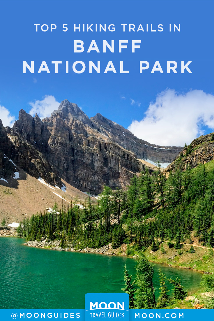
5 Best Hikes in Banff National Park
After experiencing the international thrills of Banff Avenue, most people will want to see the real park, which is, after all, the reason that millions of visitors flock here. Although many landmarks can be seen from the roadside, to really experience the personality of Banff National Park, you’ll need to go for a hike. And one of the best things about Banff’s 80-odd hiking trails is the variety! From short interpretive walks originating in town to easy hikes rewarded by spectacular vistas to myriad overnight backcountry opportunities, Banff’s trails offer something for everyone. Here are our picks for the 5 best trails in the park.
Before attempting any hikes, visit the Banff Visitor Centre, where staff can advise you on the condition of trails and closures.
If you are planning an overnight trip into the backcountry, you must purchase a backcountry camping permit through the Parks Canada Campground Reservation Service; $10 per person per night.
Top 5 Hikes in Banff National Park
Sunshine Meadows
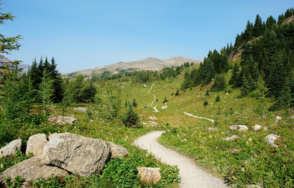
Sunshine Meadows, straddling the Continental Divide, is a unique and beautiful region of the Canadian Rockies. It’s best known as home to Sunshine Village, a self-contained alpine resort accessible only by gondola from the valley floor. But for a few short months each summer, the area is clear of snow and becomes a wonderland for hiking. Large amounts of precipitation create a lush cover of vegetation—over 300 species of wildflowers alone have been recorded here.
From Sunshine Village, trails radiate across the alpine meadow, which is covered in a colorful carpet of fireweed, glacier lilies, mountain avens, white mountain heather, and forget-me-nots (the meadows are in full bloom mid-July-early August). The most popular destination is Rock Isle Lake, an easy 2.5-kilometer (1.6-mile) jaunt from the upper village that crosses the Continental Divide while only gaining 100 meters (330 feet) of elevation. Mount Assiniboine (3,618 meters/11,870 feet), known as the “Matterhorn of the Rockies,” is easily distinguished to the southeast. Various viewpoints punctuate the descent to an observation point overlooking the lake.
From here, options include a loop around Larix and Grizzly Lakes and a traverse along Standish Ridge. If the weather is cooperating, it won’t matter which direction you head (so long as it’s along a formed trail); you’ll experience the Canadian Rockies in all their glory.
It’s possible to walk the 6-kilometer (3.7-mile) restricted-access road up to the meadows, but a more practical alternative is to take the Banff Sunshine Summer Gondola. To get to the base of the gondola from Banff, follow the Trans-Canada Highway 9 kilometers (5.6 miles) west to Sunshine Village Road, which continues a similar distance along Healy Creek to the Sunshine Village parking lot.
Bourgeau Lake
Length: 7.6 kilometers/4.7 miles (2.5 hours) one-way
Elevation gain: 730 meters/2,400 feet
Rating: moderate
Trailhead: signposted parking lot, Trans-Canada Highway, 3 kilometers (1.9 miles) west of Sunshine Village Junction
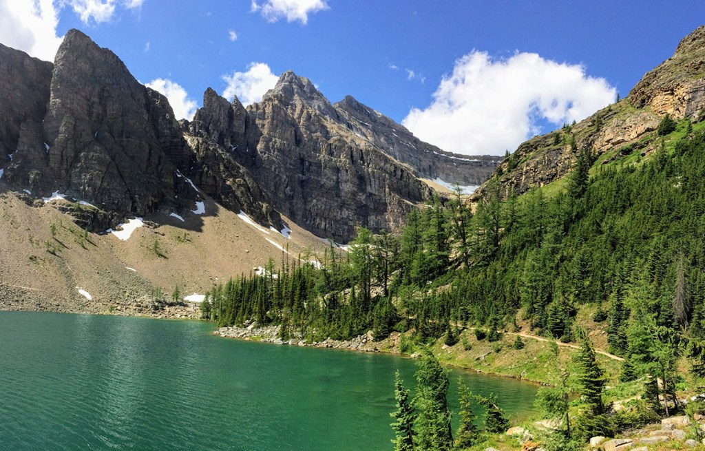
This trail follows Wolverine Creek to a small subalpine lake nestled at the base of an impressive limestone amphitheater. Although the trail is moderately steep, plenty of distractions along the way are worthy of a stop (and rest). Back across the Bow Valley, the Sawback Range is easy to distinguish. As the forest of lodgepole pine turns to spruce, the trail passes under the cliffs of Mount Bourgeau and crosses Wolverine Creek (below a spot where it tumbles photogenically over exposed bedrock). After strenuous switchbacks, the trail climbs into the cirque containing Bourgeau Lake. As you explore the lake’s rocky shore, you’ll hear the colonies of noisy pikas, even if you don’t see them.
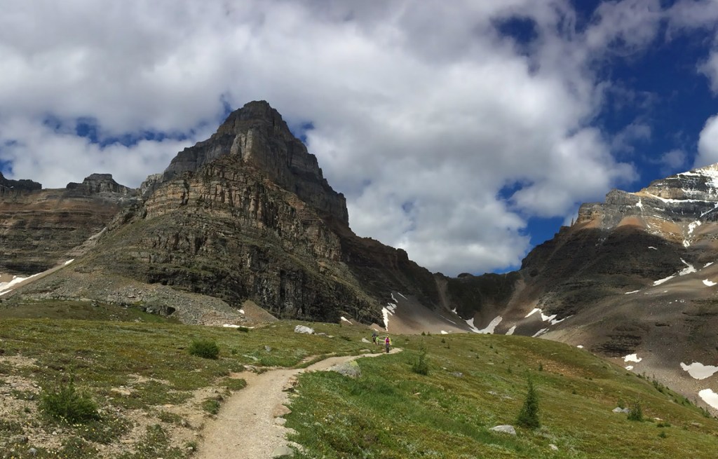
Larch Valley
Length: 2.9 kilometers/1.8 miles (60 minutes) one-way
Elevation gain: 400 meters/1,310 feet
Rating: moderate
Trailhead: Moraine Lake, 13 kilometers (8 miles) from Lake Louise Drive
In mid- to late September, when the larch trees have turned a magnificent gold and the sun is shining, few spots in the Canadian Rockies can match the beauty of this valley, but don’t expect to find much solitude. Although the most popular time for visiting the valley is fall, it is a worthy destination all summer, when the open meadows are filled with colorful wildflowers.
The trail begins just past Moraine Lake Lodge and climbs fairly steeply, with occasional glimpses of Moraine Lake below. After reaching the junction of the Eiffel Lake Trail, keep right, passing through an open forest of larch and into the meadow beyond. The range of larch is restricted within the park, and this is one of the few areas where they are prolific. Mount Fay (3,235 meters/10,615 feet) is the dominant peak on the skyline, rising above the other mountains that make up the Valley of the Ten Peaks. Continue up a further one kilometer (0.6 mile) to the two Minnestimma Lakes, where views back to the Ten Peaks are unforgettable. Due to the risk of human-wildlife conflicts in Larch Valley, there is often a restriction on this trail requiring hikers to be in groups of four or more.
Helen Lake
Length: 6 kilometers/3.7 miles (2.5 hours) one-way
Elevation gain: 455 meters/1,500 feet
Rating: moderate
Trailhead: across the Icefields Parkway from Crowfoot Glacier Lookout, 33 kilometers (20 miles) northwest from the junction with the Trans-Canada Highway
The trail to Helen Lake is one of the easiest ways to access a true alpine environment from any highway within Banff National Park. The trail climbs steadily through a forest of Engelmann spruce and subalpine fir for the first 2.5 kilometers (1.6 miles) to an avalanche slope, reaching the tree line and the first good viewpoint after three kilometers(1.9 miles). The view across the valley is spectacular, with Crowfoot Glacier visible to the southwest. As the trail reaches a ridge, it turns sharply and passes through extensive meadows of wildflowers that are at their peak in late July and early August. The trail then crosses a photogenic stream and climbs to the glacial cirque where Helen Lake lies. Listen and look for hoary marmots along the last section of trail and around the lakeshore.
For those with the time and energy, it’s possible to continue an additional three kilometers(1.9 miles) to Dolomite Pass; the trail switchbacks steeply up a farther 100 vertical meters (330 vertical feet) in less than one kilometer (0.6 mile), then descends for a farther one kilometer (0.6 mile) to Katherine Lake and beyond to the pass.
Lake Agnes Trail
Length: 3.6 kilometers/2.2 miles (90 minutes) one-way
Elevation gain: 400 meters/1,312 feet
Rating: moderate
Trailhead: Lake Louise
This moderately strenuous hike is one of the park’s most popular. It begins in front of the château, branching right near the beginning of the Louise Lakeshore Trail. For the first 2.5 kilometers (1.6 miles), the trail climbs steeply, switchbacking through a forest of subalpine fir and Engelmann spruce, crossing a horse trail, passing a lookout, and leveling out at tiny Mirror Lake. Here the old, traditional trail veers right (use it if the ground is wet or snowy), while a more direct route veers left to the Plain of the Six Glaciers.
The final elevation gain along both trails is made easier by a flight of steps beside Bridal Veil Falls. The trail ends at its namesake subalpine lake, which is nestled in a hanging valley. It’s also where you’ll find the rustic Lake Agnes Teahouse, which offers homemade soups, healthy sandwiches, and a wide assortment of teas.
From the teahouse, a 1-kilometer (0.6-mile) trail leads to Little Beehive and impressive views of the Bow Valley. Another trail leads around the northern shore of Lake Agnes, climbing to Big Beehive or joining the Plain of the Six Glaciers Trail, just 3.2 kilometers (two miles) from the château and 2.1 kilometers (1.3 miles) from the teahouse at the end of that trail.
By clicking ‘Sign Up,’ I acknowledge that I have read and agree to Hachette Book Group’s Privacy Policy and Terms of Use
Plan Your Trip:

Pin it for Later