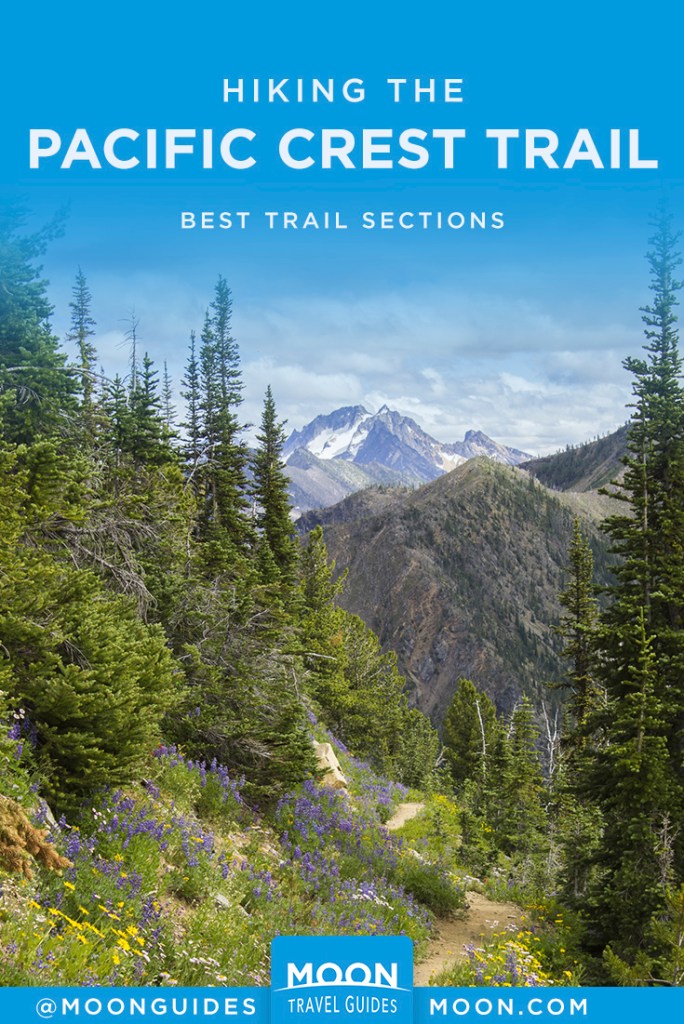
Hiking the PCT: Best Trail Sections
Ready to hit the dirt? Here’s your guide to hiking the Pacific Crest Trail.
Southern California
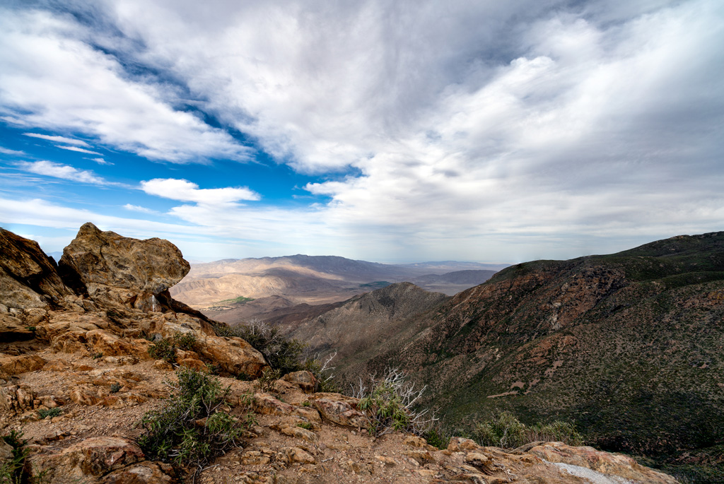
Laguna Mountain Ridge
4.5 mi/7.2 km one-way, 2-3 hr
The rocky Laguna Mountains loom 4,000 feet above Anza-Borrego Desert State Park. Hike along the top of the range’s dramatic eastern escarpment to admire the geology and stark beauty of this arid region
Mount Baden-Powell
9 mi/14.5 km, 4.5-5 hr
The Pacific Crest Trail is gently graded as it ascends to the top of the second-highest peak in the San Gorgonio Mountains, making this peak a quite reasonable endeavor compared to its nearby counterparts. Views from the top stretch out over downtown Los Angeles, the Pacific Ocean, the San Bernardino and San Jacinto Mountains, and the Mojave Desert.
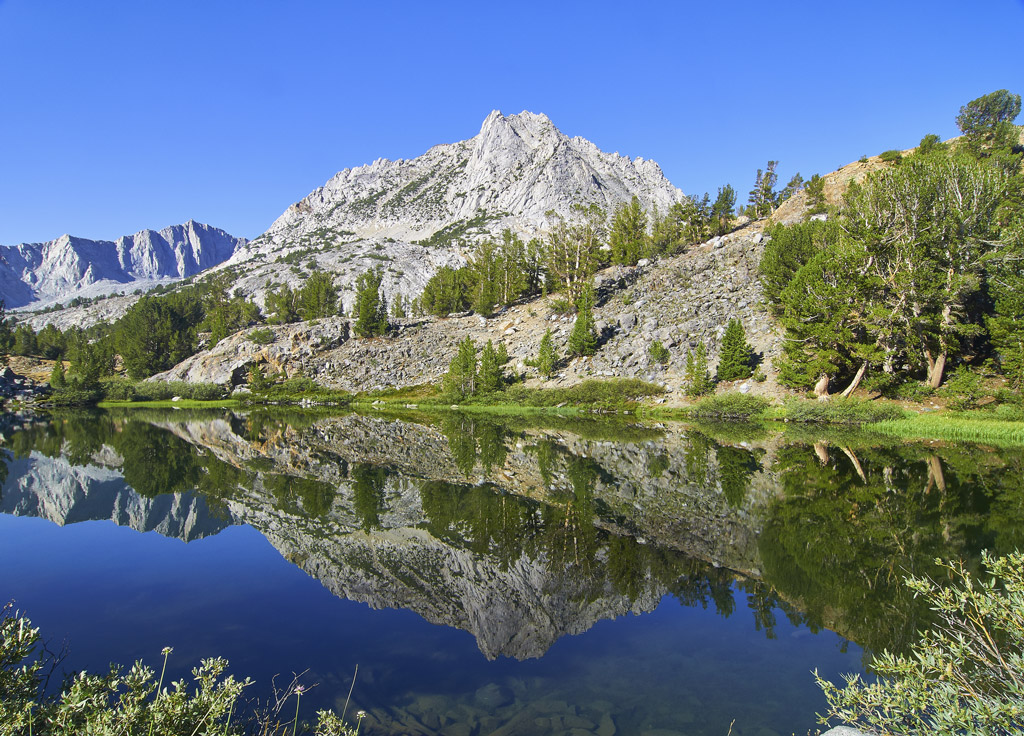
Central California
Kearsarge Pass
9 mi/14.5 km, 6 hr
While most of the John Muir Trail (JMT) remains out of reach for day hikers, this challenging hike to the top of 11,700-foot Kearsarge Pass provides a sneak peek into the route of the JMT and PCT through Sequoia and Kings Canyon National Park.
Long Lake And Bishop Pass
11.2 mi/18 km, 7-8 hr
Every moment feels magical on the path to Bishop Pass, where you’re surrounded by sparkling lakes, sky-piercing peaks, vibrant wildflowers, colorful terrain, and tumbling waterfalls. Options for shorter hikes along this gorgeous trail are plentiful.
Lembert Dome
2.8 mi/4.5 km, 2-3 hr
Inside Yosemite National Park, the trail to the top of Lembert Dome showcases the unique geology of the park and provides a gorgeous vantage point over lush Tuolumne Meadows.
Sonora Peak
7.7 mi/12.4 km, 4 hr
Hikers find solitude on the PCT near Sonora Pass, which is far less crowded than the national parks farther south and arguably just as beautiful.
Newsletter Signup
By clicking ‘Sign Up,’ I acknowledge that I have read and agree to Hachette Book Group’s Privacy Policy and Terms of Use
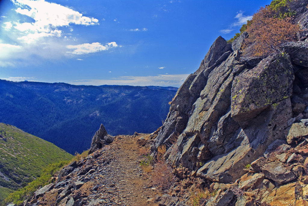
Northern California
Twin Peaks
11.2 mi/18 km, 6 hr
The Pacific Crest Trail overlaps with the Tahoe Rim Trail for 50 miles on the southwest side of Lake Tahoe. Explore this scenic section of the Granite Chief Wilderness with stunning views of the oh-so-blue lake below.
Sierra Buttes Lookout Tower
5.5 mi/8.9 km, 3 hr
This hike along the PCT leads to the top of a craggy massif with a defunct lookout tower. Unless you’re afraid of heights, you’ll want to climb the historic tower’s steep stairs to soak up the 360-degree views of the northern Sierra Nevada.
Deadfall Lakes And Mount Eddy
8.6 mi/13.8 km, 5 hr
Mount Shasta looks magnificent from your vantage on top of 9,025-foot Mount Eddy, the tallest peak in the Trinity Alps range. The trail to the top visits multiple alpine lakes along the way.
Oregon
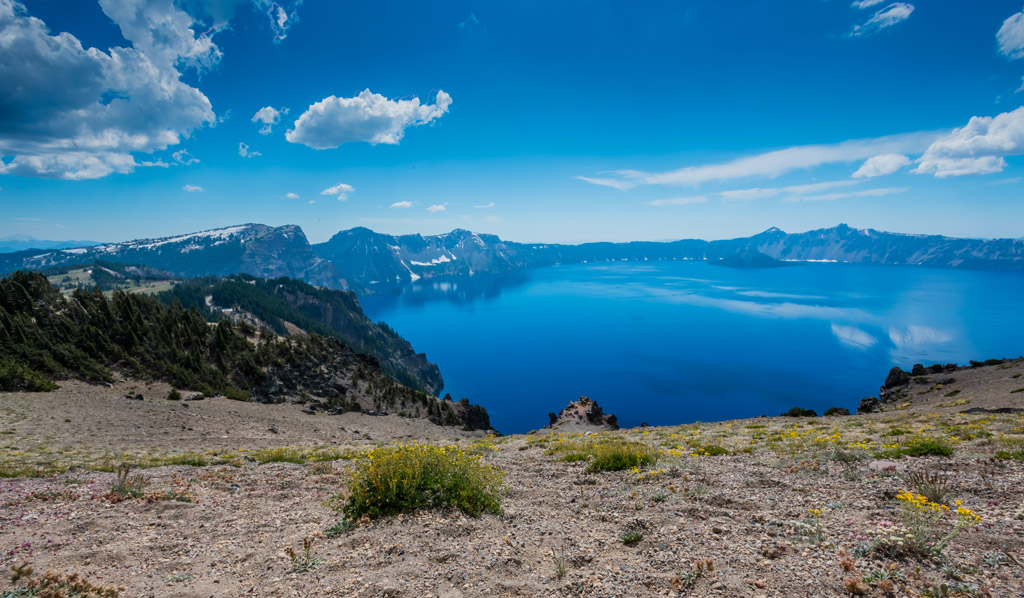
Crater Lake Rim
While the official PCT is plotted through a different area of the national park, this popular alternate follows the western rim of Crater Lake, a volcanic caldera filled with pristine, crystal clear water. This hike offers the best views of Wizard Island, the cone-shaped island in the lake.
Obsidian Trail
11.8 mi/19 km, 6-7 hr
Explore the evidence of Oregon’s volcanic past on the Obsidian Trail, framed by the glaciated mountainsides of North Sister and Middle Sister. The trail twists through forest and lava fields before arriving at Obsidian Falls, where glassy black rocks shimmer in the creek bed.
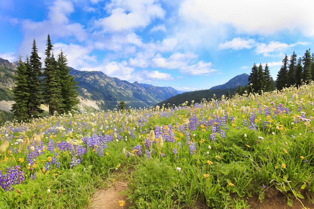
Jefferson Park
12.5 mi/20.1 km, 6-7 hr
The hike to Jefferson Park isn’t easy, but the wildflower-speckled meadows and warm, swimmable lakes make the effort well worth it. Start early so you can relax for a few hours midday in the meadows.
Washington
Killen Creek Meadows
10 mi/16.1 km, 5 hr
Thanks to its remote location, Mount Adams sees a fraction of the visitors that Mount Hood and Mount Rainier experience each year. This hike along the PCT offers larger-than-life views of Mount Adams, as well as panoramic mountain vistas including Mount St. Helens, Goat Rocks, and Mount Rainier.
Naches Peak Loop
3.6 mi/5.8 km, 1.5-2 hr
Mount Rainier can be seen from miles in every direction, but it’s hard to appreciate its magnitude without seeing it up close. Admire its icy splendor on this loop hike near Chinook Pass, where the PCT traces the eastern edge of Mount Rainier National Park.
Hart’s Pass
5.4 mi/8.7 km, 2 hr
Surrounded by formidable, craggy peaks in all directions, hiking at Hart’s Pass is humbling, to say the least. If you’re willing to brave chilly temps, visit in early October when yellow larch trees and fiery red huckleberry bushes light up the mountainsides.

Newsletter Signup
By clicking ‘Sign Up,’ I acknowledge that I have read and agree to Hachette Book Group’s Privacy Policy and Terms of Use