15 Best Hikes in Glacier National Park
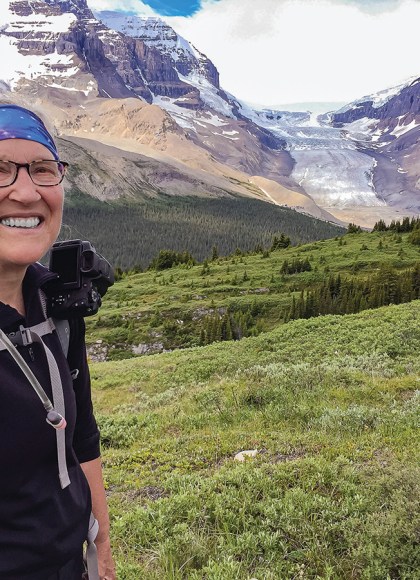
Waterton-Glacier International Peace Park is a hiker’s paradise, with more than 700 miles (1,130 km) of trails. Find your perfect trail with this roundup of the best hikes in Glacier National Park for families, day hikers, and serious trekkers.
Note: Summer shuttles accommodate point-to-point hiking on Going-to-the-Sun Road and in Waterton.
Best Family-Friendly Hikes (Under 5 mi/8 km)
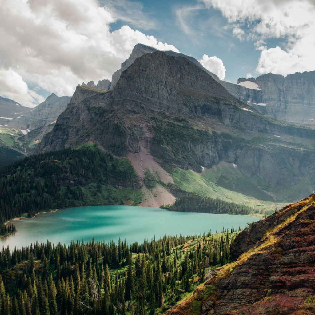
Grinnell Lake
A scenic boat ride across two lakes whittles this hike down to 2 miles (3.2 km) to see the turquoise lake fed by a giant waterfall. Kids love the swinging bridge and wading in the frigid lake.
Red Rock Canyon and Blakiston Falls
In Waterton, loop 0.6-mile (1-km) around a colorful red-rock gorge with places to reach the waterfall splashing at its lower end. Extend the adventure 1.2 miles (1.9 km) round-trip to see Blakiston Falls.
Hidden Lake Overlook
Stand atop the Continental Divide at Hidden Lake Overlook on this 2.6-mile (4.2-km) round-trip adventure from Logan Pass, where you might spot baby mountain goats.
St. Mary Falls and Virginia Falls
This 3.4-mile (5.5-km) trail takes in two waterfalls. One gushes through a rocky slot while the other sprays in a veil.
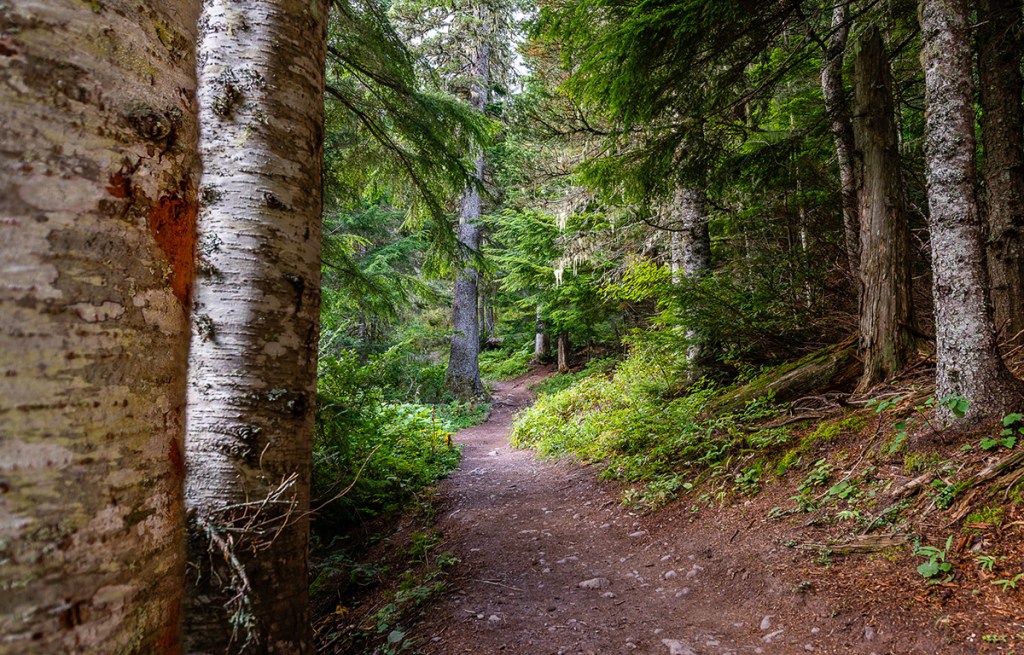
Trail of the Cedars and Avalanche Lake
A 1-mile (0.6-km) trail tours an accessible boardwalk, bridges, and hard surface through ancient cedars that look like a gnome-land. Families can add on a 3.8-mile (6.1-km) round-trip walk up to a pretty subalpine lake fed by several waterfalls.
Best Day Hikes (5-10 mi/8-16.1 km)
Scenic Point
Switchbacks ascend a rocky slope with sparse vegetation to crest a windswept knoll. Views plummet down to Two Medicine Lake and shoot miles across the plains on this 5.8-mile (9.3-km) round-trip trail.
Grinnell Glacier
A boat ride clips mileage off the route to Grinnell Glacier, dropping it down to 7.8 miles (12.6 km) round-trip. It’s the shortest route to see a glacier up close.
Piegan Pass
An 8.8-mile (14.2-km) round-trip trail climbs through forest and wildflower meadows to crest through a talus basin to a pass tucked under the Continental Divide.
Newsletter Signup
By clicking ‘Sign Up,’ I acknowledge that I have read and agree to Hachette Book Group’s Privacy Policy and Terms of Use
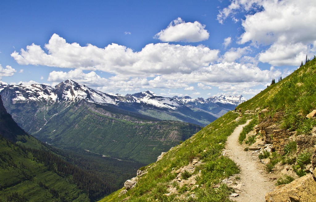
Siyeh Pass
From Siyeh Bend on Going-to-the-Sun Road, this point-to-point trail circles 10 miles (16.1 km) around Going-to-the-Sun Mountain. View colorful wildflowers in Preston Park en route and two glaciers.
Iceberg Lake
A 10.4-mile (16.7-km) round-trip trail terminates at a lake where you can swim with icebergs in August.
Butt-Kickers (Over 10 mi/16.1 km)
Highline Trail and Granite Park Chalet
Beginning at Logan Pass, the stunning 11.4-mile (18.3-km) point-to-point walk tiptoes along the Continental Divide to historic Granite Park Chalet before dropping to The Loop. Hikers often see mountain goats, bighorn sheep, bears, or wolverines.
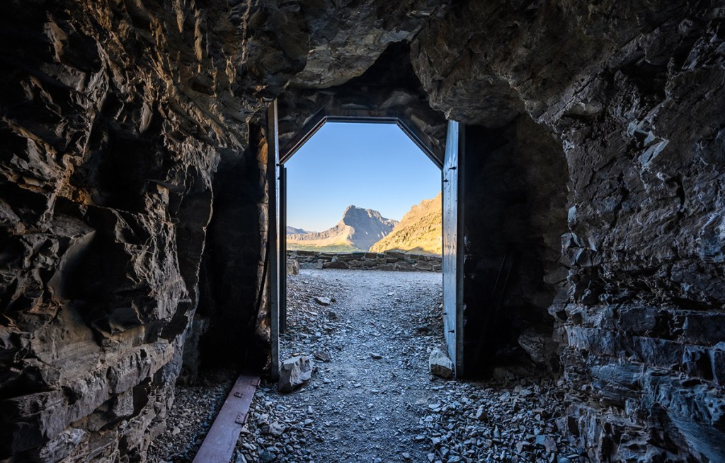
Ptarmigan Tunnel
An 11.4-mile (18.3-km) round-trip trail climbs past Ptarmigan Lake to switchback up to a hiker-and-horse tunnel cut through an arête to look down on Elizabeth Lake.
Carthew Pass
In Waterton, an 11.2-mile (18-km) point-to-point trail climbs from Cameron Lake over windy Carthew Pass to drop past Alderson Lake before reaching the Waterton Townsite.
Crypt Lake
In Waterton, a boat ride and switchbacks ascend to a ladder, tunnel, and cliff walk to reach a hanging valley containing an idyllic lake on this 10.8-mile (17.4-km) round-trip hike that includes multiple dramatic waterfalls.
Dawson-Pitamakin Loop
Starting or finishing with a boat ride at Two Medicine, this 15.3-mile (24.6-km) loop crosses three passes on a narrow top-of-the-world trek through bighorn sheep summering range.
What You Need to Know
Trail Status
Conditions on Glacier’s trails vary significantly depending on the season, elevation, recent severe weather, and bear closures. Swinging and plank bridges across rivers and creeks are installed in late May-June. Some years, bridges are installed and then removed a few weeks later to wait for rivers swollen with runoff to subside. Most years, higher passes are snowbound until mid-July. Steep snowfields often inhibit hiking on the Highline Trail until mid-July or so. Ptarmigan Tunnel’s doors are usually open mid-July-early October. Several backcountry campsites are snowbound until August. To find out about trail conditions before hiking, stop at ranger stations or visitors centers for updates or consult trail status reports June-September on the park’s website. Bear or fire closures are also listed online.
Trail Signage
All park trailheads and junctions have excellent signage. Be prepared to convert kilometers to miles in your head to understand distances. Some signs show both kilometers and miles, others simply kilometers. This is, after all, the International Peace Park, and kilometers are more international. In Waterton, all trail sign distances use kilometers. Pull out your math skills: To convert kilometers to miles, multiply the kilometers listed by 0.6 (example: 3 km x 0.6 = 1.8 miles). To convert miles to kilometers, multiply the miles by 1.6 (example: 2 miles x 1.6 = 3.2 km). These calculations are simple, easy approximations for the trail. For more precise conversions, multiply by 0.62 to convert kilometers to miles; to convert miles to kilometers, multiply by 1.61. Some hikers enjoy kilometers: the number is always higher, so the accomplishment feels greater.
Trailheads may also display yellow warning or orange closure signs to alert hikers to bear or mountain lion activity. Obey the closures! They can mean an animal is guarding prey.
Heavily trampled areas may have a footprint with a red slash in fragile alpine meadows and areas of abuse replanted with native vegetation. It means “don’t walk here.”
Guided Hikes
National Park Service naturalists guide free hikes during summer in Glacier and snowshoe excursions in winter. Consult schedules in the park newspaper or online or in visitors centers. Parks Canada naturalists guide free summer hikes in Waterton; find current schedules in the visitors center or online. Naturalists from both parks lead the International Peace Park Hike twice weekly in July-August.
One company in Glacier and one company in Waterton provide guide services, with reservations required. Glacier Guides (406/387-5555 or 800/521-7238) leads day hikes, chalet overnights, and backpacking trips. Waterton Outdoor Adventures (The Tamarack, 214 Mount View Rd., 403/859-2379) leads day hikes in Waterton Lakes National Park.

For more maps of hikes in Glacier, visit our Montana maps page.
Newsletter Signup
By clicking ‘Sign Up,’ I acknowledge that I have read and agree to Hachette Book Group’s Privacy Policy and Terms of Use
Pin it for Later
